
The ArcGIS Online US Geological Survey (USGS) topographic map collection now contains over 177,000 historical quadrangle maps dating from 1882 to 2006. The USGS Historical Topographic Map Explorer application brings these maps to life through an interface that guides users through the steps for exploring the map collection:
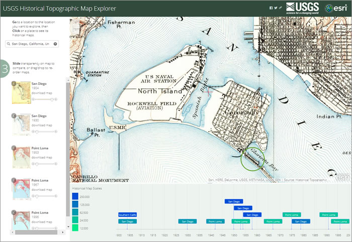
- Find a location of interest.
- View these historical topographical maps.
- Compare the maps with modern imagery.
- Download and share the maps or open them in ArcGIS Desktop (ArcGIS Pro or ArcMap desktop) where places will appear in their correct geographic location.
- Save the maps in an ArcGIS Online web map too, if you have an AGOL account, but one’s not needed to explore and download the archive!
These historic topographical maps were originally featured in an October 2014 ArcWatch publication.