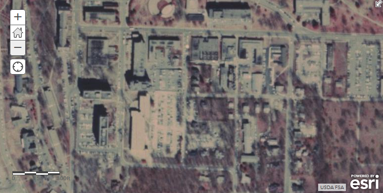
UA in the 1980s 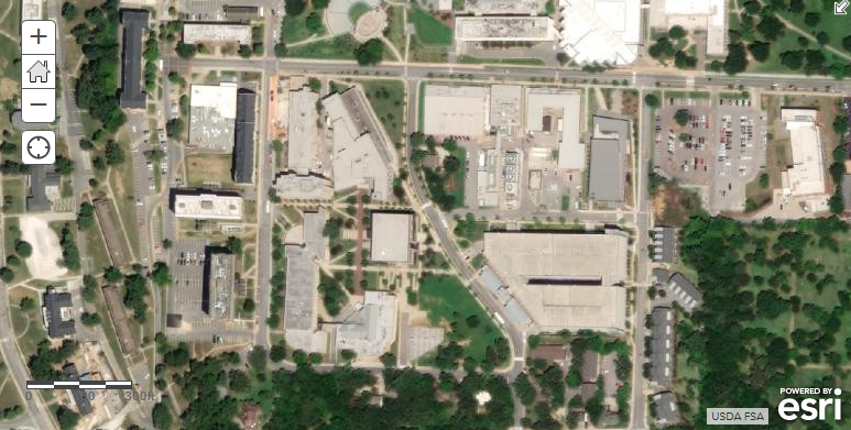
UA today
Ever wanted to get a glimpse of what your town or school looked like some years ago? If you search for something like “historic imagery” in ArcGIS Online, you won’t find many useful results. Sure, they were taking aerial photos as far back as World War I – 100 years ago! – but all these photos were on film, not digital media. Scanning these photos and then aligning them properly on the Earth was a lot of work, and therefore expensive.
In the last few years, computing power has vastly increased, and software has been created that can automate much of this process. Because of this, your friends at CAST have been able to collaborate with the U.S. Department of Agriculture’s Natural Resources Conservation Service and the Arkansas GIS Office to convert 4500 scanned photos, flown over Arkansas in the early 1980s, into a seamless set of georeferenced digital images. Through the Arkansas GIS Office, anyone can now access these images directly in their GIS project.
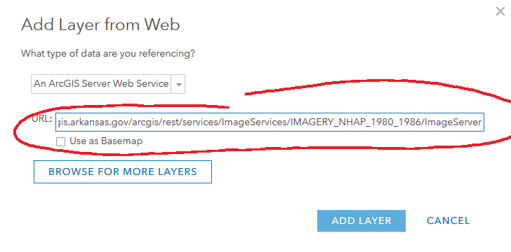
Using these images couldn’t be easier. Simply copy the link below, and then use the Add > Add Layer from Web option to add it to the Map Viewer of ArcGIS Online.
https://gis.arkansas.gov/arcgis/rest/services/ImageServices/IMAGERY_NHAP_1980_1986/ImageServer